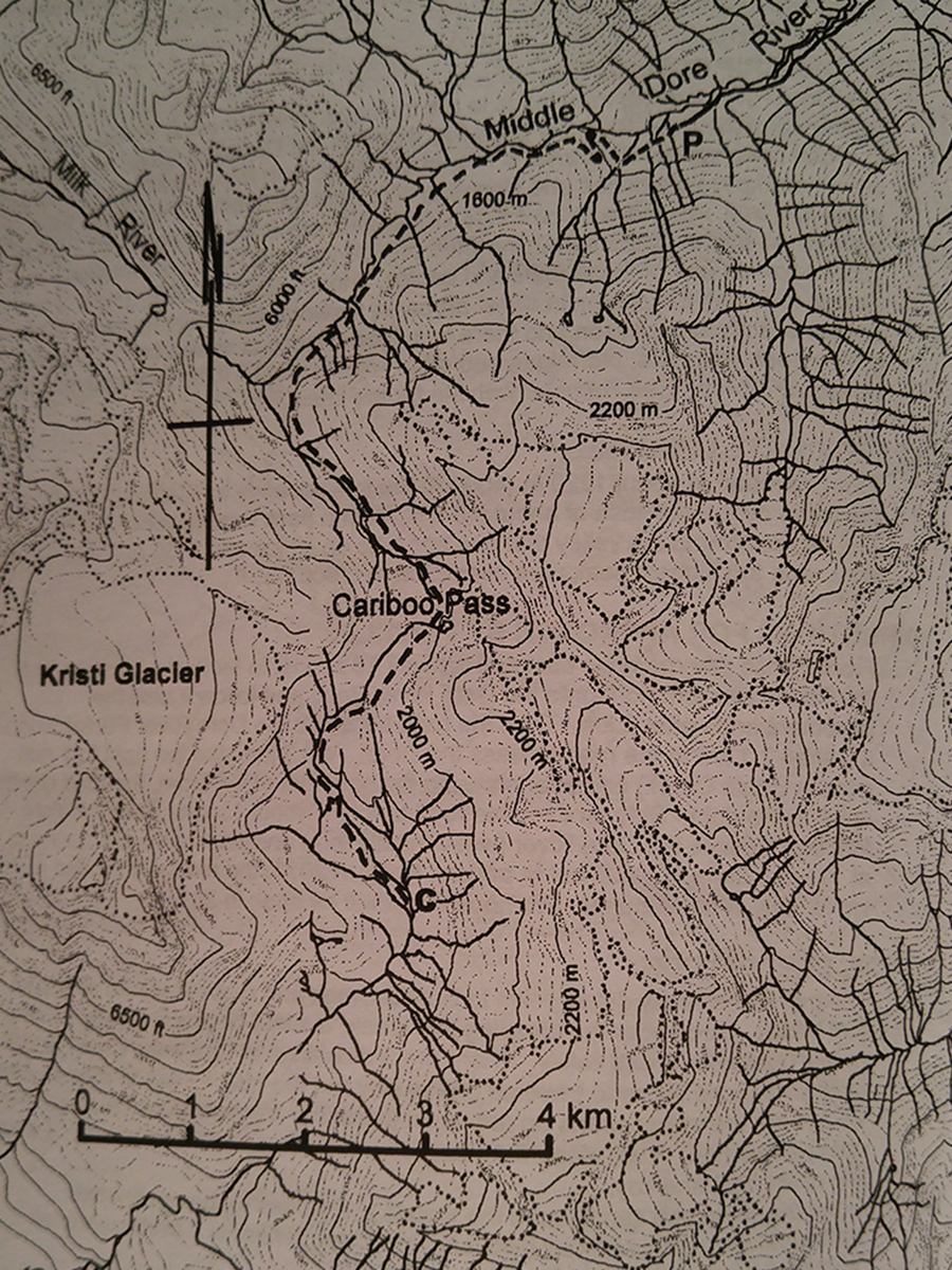
Kristi Glacier
- Area: McBride
- Length: 8KM
- Elevation Gain: 400M
- Shelter: None
Trail Description
The trail leaves the skid road and drops down into the timber. Hike for about 3km coming to a headwall, then turn left and ascend the hill up to a beautiful alpine area with great views to the ridge at the right. The trail continues on for a further 3 km down the other side to an area with good campsites.
Trail Access
From McBride, drive west on Highway 16, cross the Dore River Bridge and take a left onto the Dore River Road. Note the Odometer reading. Thence: 2km paved road ends, 4.1km Cross Dore river to east side, 8.3km take the right fork and cross the bridge, 14km cross another bridge, soon after take another left and make a switchback, 23km park at the end of the road.
BackTrail Map