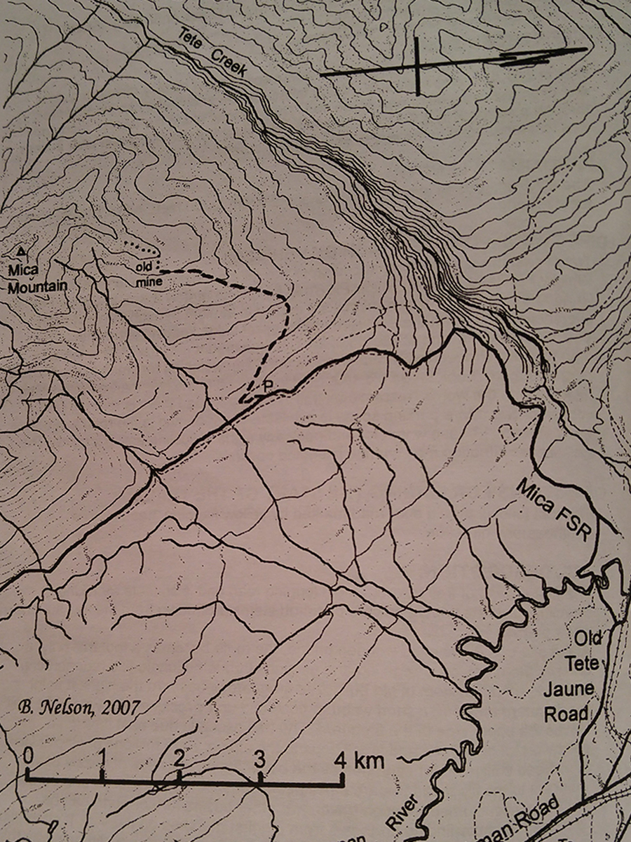
Mica Mine
- Area: Valemount
- Length: 9KM
- Elevation Gain: 850M
- Shelter: None
Trail Description
The route begins by following old logging trails and roads, then it picks up the original mule trail which meanders up the brushy mountainside staying roughly 100 to 200 meters to the left of lip of Tete Creek Valley. Above the treeline the trail traverses east facing slopes in a steady ascent to the mine site.
Trail Access
From Valemount, travel north on Highway 5 to Blackman Road. Turn left on Blackman Rd and follow for 9.7km, then turn left onto Old Tete Jaune Road. About 2km down Old Tete Jaune Rd turn left onto Sand Creek Forest Road. If you come to a railway crossing you have gone about 150m to far. Approximately 8 km up Sand Creek Forest Road a sign marks the trail head. Park beside the road and make sure to leave room for other vehicles to go by.
BackTrail Map