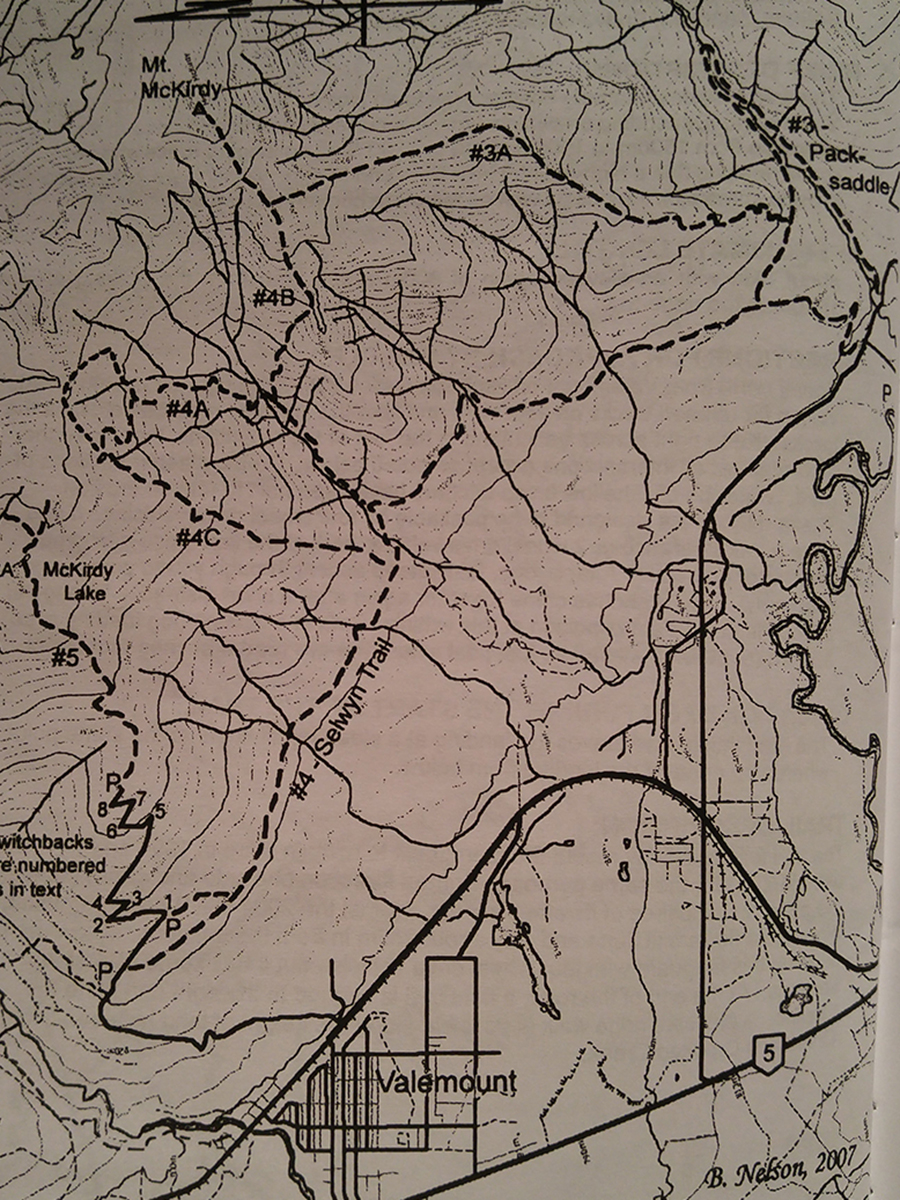
Packsaddle Creek
- Area: Valemount
- Length: 7KM
- Elevation Gain: 335M
- Shelter: None
Trail Description
Take the Selwyn Traverse trail, which ascends out of the North East corner of the parking area on an old road, for about 1.5km to an old clear cut that is now densely covered with young lodge pole pines trees. As you enter the old clear cut look for the pile of rocks and signs marking the junction of the Selwyn Traverse and the Packsaddle Creek Loop.
The trail ascends from the junction with the Selwyn Traverse through a stand of young pine trees. It soon enters older forest and traverses southeast across bench lands until the terrain suddenly grips away and the south of Packsaddle creek can be heard below. It descends to the valley floor at an upstream angle and proceeds upstream to a footbridge across Packsaddle Creek. To make the loop, cross the footbridge. The loop trail descends along the southeast side of the creek, keeping the valley floor all the way back to East Canoe Road. For the upper trail, continue up the northwest side of the creek without crossing the footbridge. The trail soon ascends steeply to a high bench and continues upstream. After descending to cross an avalanche slope where brush may make it hard to follow, it arrives at an old trail building camp in a grove of large spruce trees. It has received little maintenance beyond this point for several years.
Trail Access
Travel east through Valemount and cross the railroad tracks, then turn right on Whisky Fill Road. Follow Whisky Fill Road for approx. 3km to Canoe Forest Road and turn left. Use headlights at all times and watch for logging trucks. Follow Canoe Forest Road for 4km to a major intersection and a group of signs. Park here.
BackTrail Map