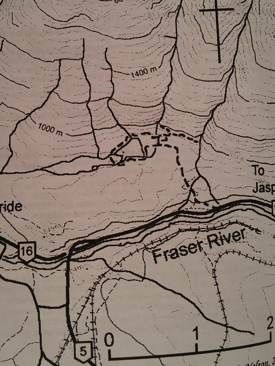
Little Lost Lake
- Area: MtRobson
- Length: 2KM
- Elevation Gain: 0M
- Shelter: None
Trail Description
The trail starts across the highway, opposite the river about 100m towards the weigh scale. The trail is well traveled and well marked. After some uphill sections the latter half of the hike levels out. Almost at the lake the trail forks, one branch heads straight to a picnic the lake, the other goes counter clockwise around the lake, ending up at the same picnic area.
Trail Access
From the junction of Highway 5 and highway 16 at Tete Jaune, take Highway 16 east for about 1.5km and park at the pullout a short distance from the weigh scales.
BackTrail Map