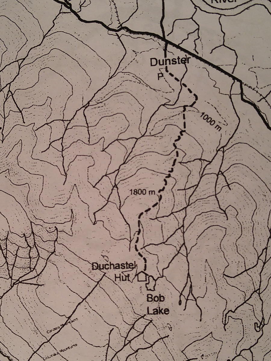
Tom's Cabin
- Area: Dunster
- Length: 7KM
- Elevation Gain: 0M
- Shelter: Hut
Trail Description
The trail climbs steeply for a short distance then turns and follows an old abandoned road. After leaving the road the trails crosses the top on a forested knob and descends behind it before climbing steeply to the treeline. Once in the alpine the trail is marked to a hut at Bob Lake. One can wander in any direction form the hut
Trail Access
Follow the Dunster Station Road from the Highway, crossing the Fraser River Bridge. At the end of Dunster Station Road turn left onto the Croydon-Raush Valley Road then turn right onto Pepper Pit Road. Follow the Pepper Pit Road to the grave pit on the mountain side. The trail is marked at the top left of the gravel pit.
BackTrail Map